One Mapsys. Different jobs. Connected information.
A community is not expected to learn everything. Each person uses what is relevant to their work and life. Mapsys connects the information without forcing everyone into the same workflow.
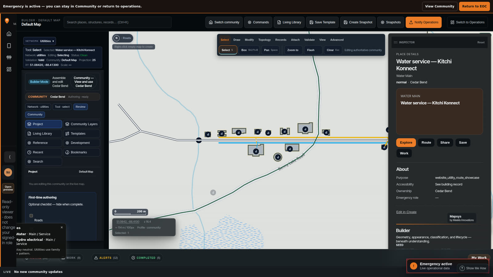
Open a place and see the information that belongs there.
Search a building, road, water asset, facility or Project. Mapsys does not ask a community to throw away every existing system on day one.
Mapsys starts with the person — places, photos, Journal, tracks and the community information they are allowed to see.
Work together in a controlled place without automatically changing official community information.
Housing, roads, water, assets, inspections and attention around real places.
A building can explain itself — rooms, systems, work and relevant records.
Report a concern, and keep authorized emergency work from starting at zero.
Understand a building from intent before the finished drawings arrive.
Start with one need. Build from there.
Start with the problems that matter now — housing, roads, water, safety, field work, or emergency readiness. A community does not need to take on every Mapsys capability at once.
Looking at how to pay for the work? FundOpps can help you find funding opportunities that may fit.
Explore funding optionsFundOpps — a Meekis Innovations product