Built from the problems communities are already facing.
Mapsys was created by Devon Meekis through Meekis Innovations in Northern Ontario.
Emergency software doesn't understand buildings. Building software doesn't understand community history. Mapping software doesn't understand responsibilities. Mapsys was built to connect them.
Not another rigid system. A way to keep community knowledge with the community.
Mapsys brings people, places, work and knowledge together without taking control of the community's information away from the community. A community is not expected to learn or use everything at once. Different people use the parts relevant to their work and life.
Solving today's problem should strengthen the community's ability to handle the next one.
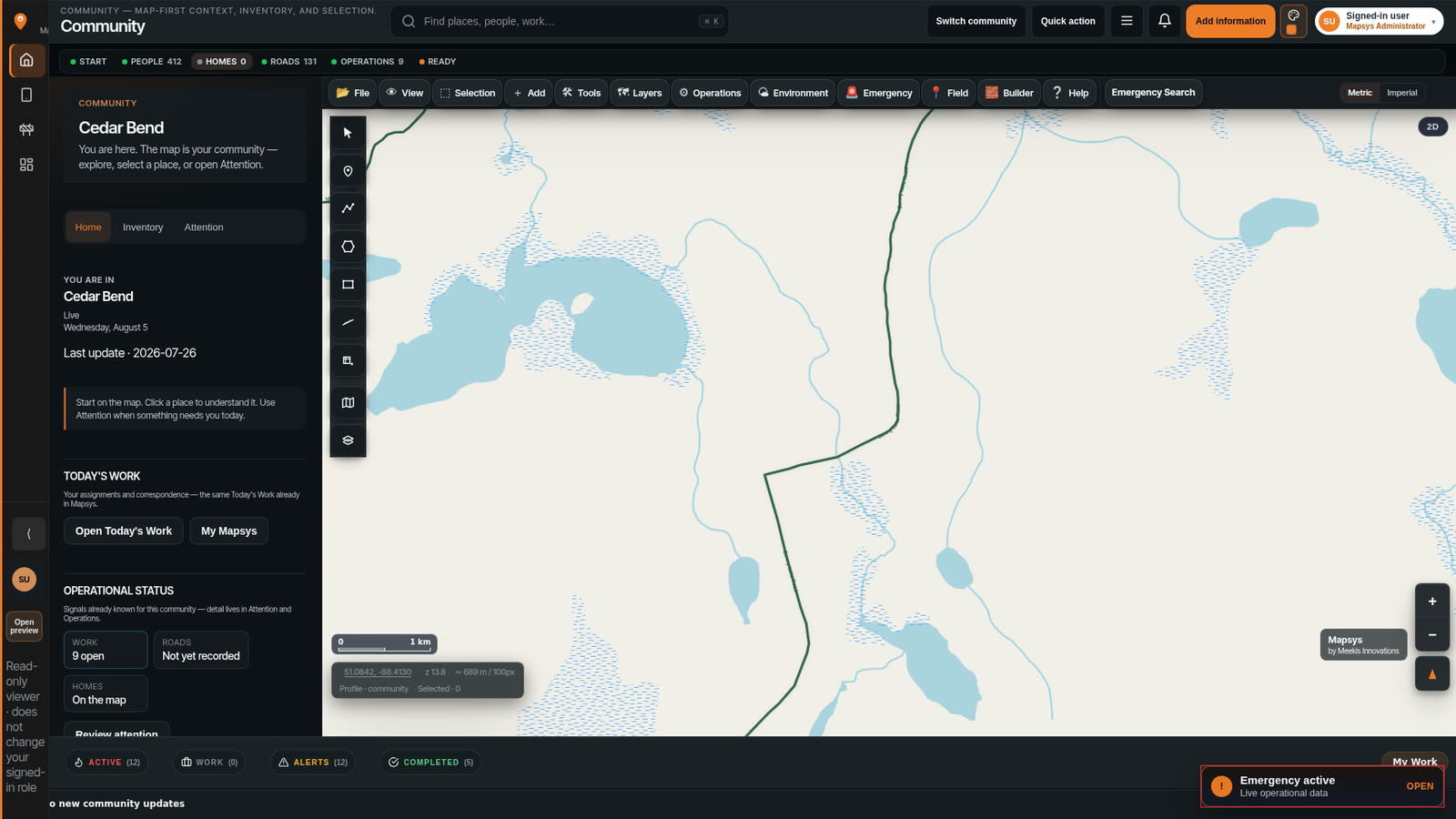
See what Mapsys could look like for your community.
Start with the problems that matter now — housing, roads, water, safety, field work, or emergency readiness. A community does not need to take on every Mapsys capability at once.
Looking at how to pay for the work? FundOpps can help you find funding opportunities that may fit.
Explore funding optionsFundOpps — a Meekis Innovations product